From January, I have been walking a different section of the Celandine Route, a walking route that follows the River Pinn in west London. I started off walking from Eastcote House to Pinner in very muddy conditions and then Eastcote House to Ruislip in similar conditions before starting the next branch of my walk at the end of March with beautiful weather and much better walking conditions. The Celandine Route is located primarily in the borough of Hillingdon and starts in Hayes and completes at Pinner. The trail is a twelve-mile walkway through meadows, parks, and woodlands along the river, and it is named after the Lesser Celandine, a yellow flowering woodland plant that blooms in spring. The whole walk takes six hours in total. I am not so interested in completing the walk south of the A40 because it is such a built-up area where access to the river is largely off the trail itself.
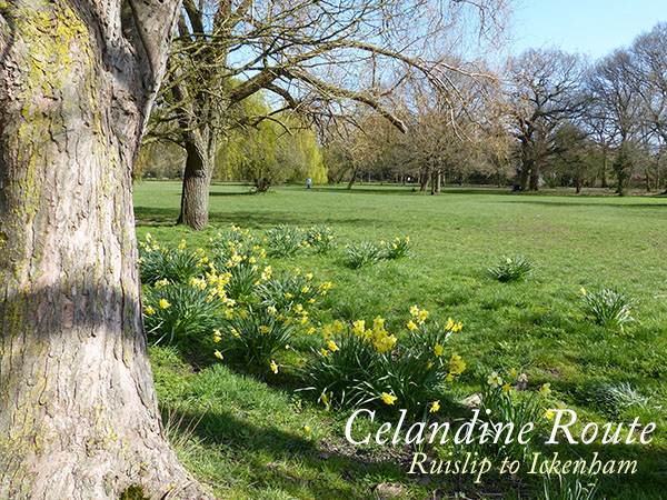
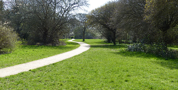
I started at the Manor House in Ruislip. This is located at the top of Ruislip High Street. On Sundays, the markets are held here in the Great Barn, which is a listed barn. There is a duck pond here and a collection of listed buildings, a theatre, and restaurants. The Manor House is surrounded by a moat, and the location was listed in the Doomesday Book.
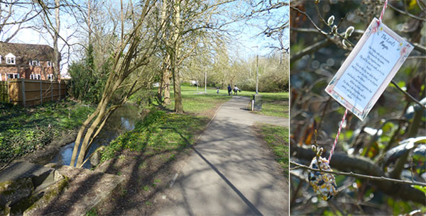
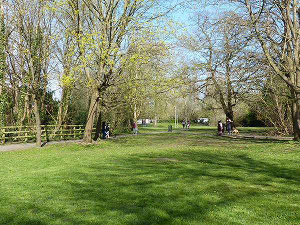
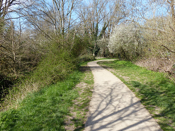
Down the hill from the Manor House is the plains and the River Pinn, a small open field. The open field ceases when it meets one of the busier roads in the area and near the youth centre where vaccinations are taking place. Across the road is a small park area with the river on one of the borders. It is a popular place for dog walkers and it has a peaceful but community feeling here. There is a primary school gate entrance in the park here, so it is an area that is popular with families. Someone had placed many notes with birdseed on some of the shrubs here, and the one pictured is a prayer.
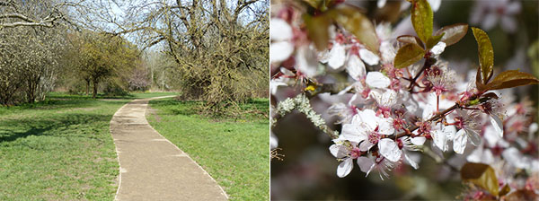
There are a couple of benches to sit on here to enjoy the nicer weather and to get some shade. To the left in the image below, a small footbridge crosses the river and continues past a housing estate that goes uphill slightly.
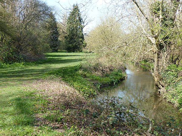
This leads into further fields that are maintained with the river on one boundary.
At the end of this small strip of land with the river is another more complex footbridge that leads into the housing estate at Westcote Rise, and the route diverts onto a residential street.
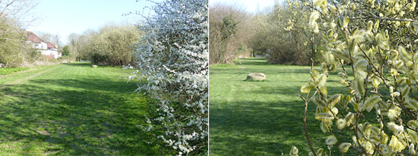
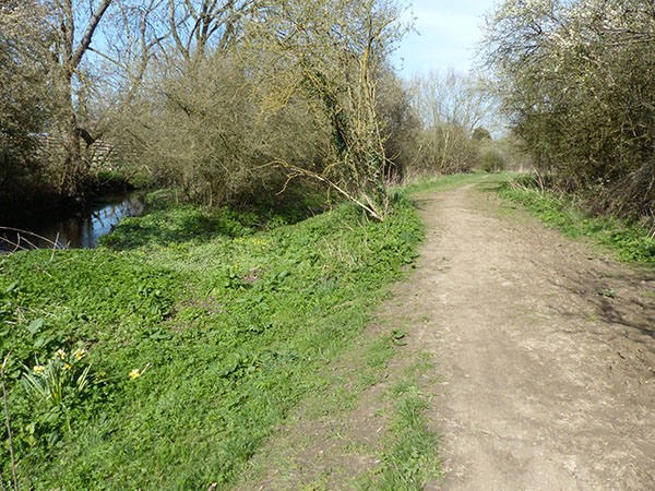
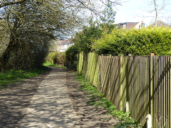
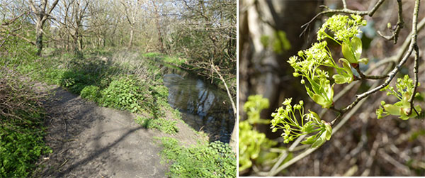
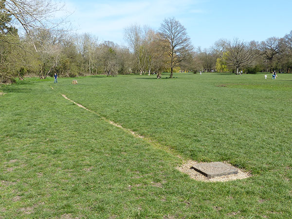
The Celandine Route follows a road Woodville Gardens, and it contains a mixture of bungalows and two-storey terraced homes typical of the area. The river itself is located behind the houses and not accessible. At the end of this small road is a larger open parkland that appears to have been challenging to walk through in the winter months. The larger parkland narrows out to a smaller and more narrow footpath following the river with the other side bordering the Ruislip Golf Club, which is currently closed. A couple of places along this route were marshy, and there were a couple of places where the river could be crossed to join other trails.
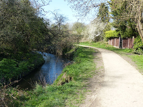
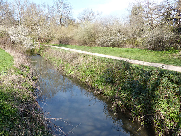
The river is clearly seen on the left and has a pleasant footpath, a small stretch which seems to be more remote than it is. It is popular with birds and wildflowers here, according to the trail information.
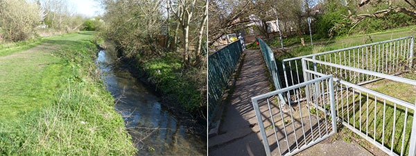
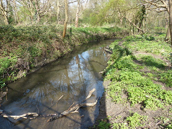
As it's bordering the golf course, be aware for flying golf balls. However, the course is closed at present due to the HS2 works. At the far edge where the bridge is (pictured below), visitors can visit other trails. It is also possible to see the HS2 chaos here.
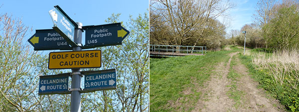
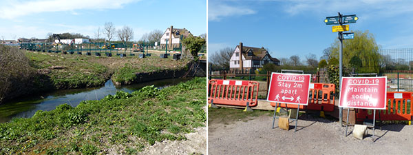
Walking around the bend here, it is evident at the disturbed ground and noise that the HS2 is dominating the area. The footpath is opened. The river looks very polluted here. The HS2 is not a popular site here and has destroyed some nice scenery. At the footpath here, the traditional railway for the London underground and rail services is located overhead. This was my least favourite part of the route so far.
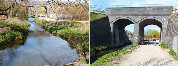
After walking underneath the railway arch, it is only a couple of hundred yards before I was in pleasant land again, and I could not even hear the construction noises. The walkway here is maintained as a narrow footpath between pleasant-looking housing estates with semi-detached and detached homes. There were a couple of benches to sit on.
Some of the footpaths were more narrow, bordering private gardens.
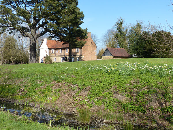
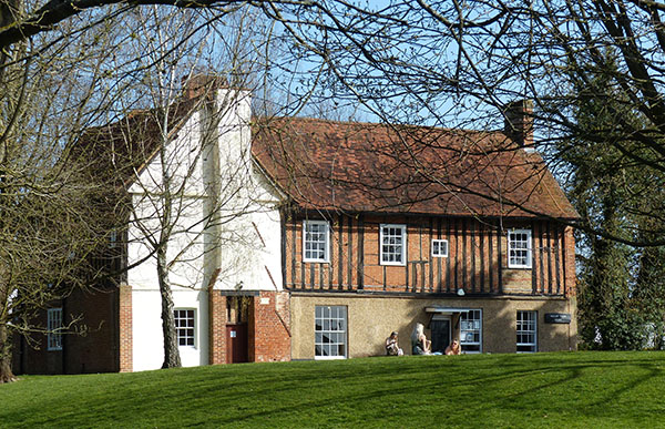
Along this section is Pynchester Moated site, which is a listed area right next to the river. The river was diverted to create a moat surrounding a structure that remained here. It is thought to have dated to Tudor times, and various items were found here. There is a short diversion to check out the moated site, which is located in a quite dense wooded area. (For more information, see my post in this blog about Pynchester Moat).
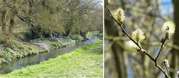
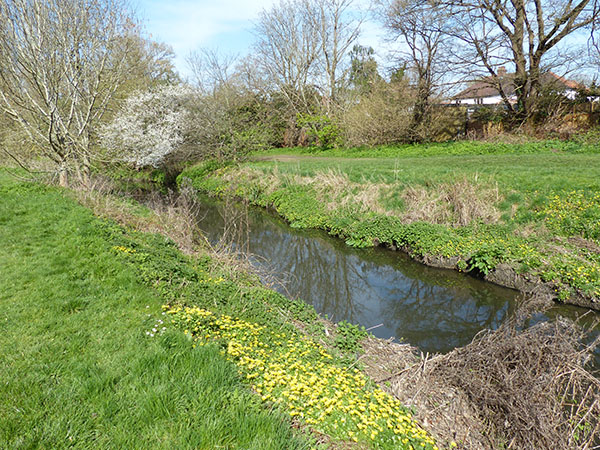
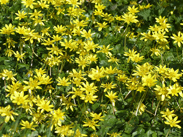
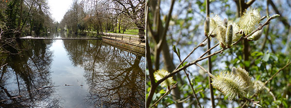
The stretch of river just past Pynchester Moat has been straightened out and was covered with lovely yellow celandine for which the route is named.
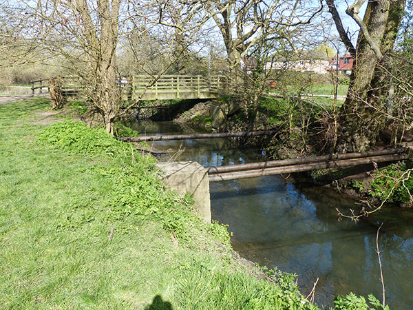
A bridge here leads to a larger park and play area (known as Breakspear Park) joined by a bridge with lovely houses on either side. Some pipes are exposed over the river here.
After walking past the bridge, I came to a rope swing located at the bank of the river. The footpath is a narrow strip of land here with the river on one side.
Beautiful celandine broightened up the river banks; again, the river appeared to be straightened in places here near the housing estates.
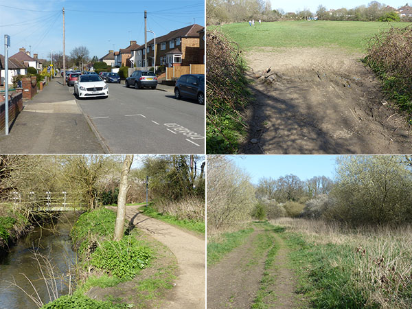
The footpath led me to a busier road (Swakeleys Road) with road construction works. This was the second busy road that I had to cross on my walk. It is a dual carriageway road, and the Ickenham conservation area is located about half a mile if following the road. There are large homes here, and crossing the road to continue the Celandine Route leads to Swakeleys Park.
Before getting to Swakeleys Park, there is a denser wooded area to navigate with narrow footpaths and a bridge to cross. In the woods here just north of the park, I heard a woodpecker in an old tree above. I could not spot it, though.

Soon after crossing a footbridge, I arrived in Swakeley's Park. This is a larger park area with playgrounds, benches, and a lot of open fields to explore or sit in. It was very popular.
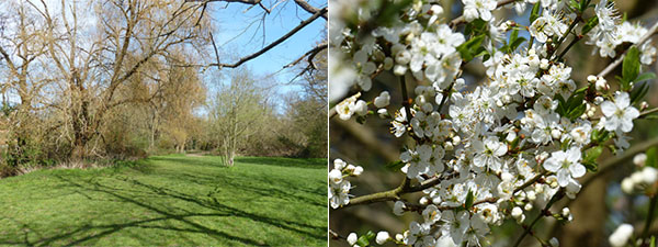
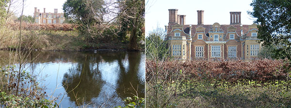
Walking further into the park, there is Swakleys Lake on the far side of the park (opposite to the river).
Across the lake, you can see glimpses of Swakleys House, a Jacobean-style mansion that was built for the Mayor of London Edmund Wright. The house is private property today, but it used to be the site of the Ickenham Festival and other events. The house is apparently opened once a year for Open House day.
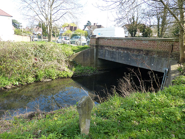
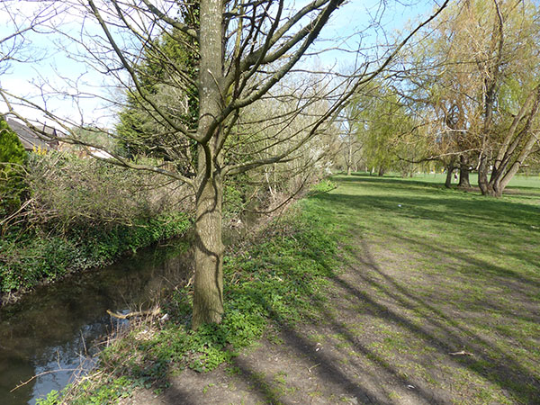
Following the lake and footpath in the park leads to the southern end of the park and another road. Across the road, the footpath continues along the river and then leads to a footbridge that crosses the busy A40 into Hillingdon town.
See my other posts along the trail:

Leave a comment